

Santee is a
suburban city in San Diego County, California,
with a population of 53,413 at the 2010 census. Although it is a part of the East County region,
Santee is located just 18
miles (29 km )
from the Pacific Ocean . The city is connected
to the coastline by State Route 52,
a six-lane freeway that runs from Interstate 5 in La Jolla to State Route 67 in El Cajon San Diego River 1,100
acres (4.5 km2) of natural riparian
habitat. The city's potential for growth and progress was touted in a San Diego
Union-Tribune editorial titled "All Roads Lead to Santee ".[2]
Community profile
In 2010, the city was populated by 19,272
households, of which 64 percent had incomes greater than $45,000 annually. In
2009, the median household income was $78,872 per year, according to the San
Diego Association of Governments. In 2010, Santee had one of the lowest crime
rates among cities in San Diego
County Santee still has sizable portions of
vacant land suitable for development. It is a growing suburban community that
in recent years has added upscale housing, a major corporate business park and
expansive shopping centers, along with a destination recreational complex
called Sportsplex USA Santee.[4]
Recreational attractions
.jpg)
Santee's
Sports: Sportsplex
USA Santee,[3] a 15 acres (61,000 m2 )
sports field complex, opened on June 1, 2010. Located within Town Center
Community Park
Outdoors: In
addition to being a popular spot for mountain bikers, the city hosts a popular Southern California rock climbing venue called Santee Boulders.[5] Santee
Lakes [6]Regional Park 190 acres (0.77 km2)
for fishing, camping, bird watching and picnicking.
Golf: A
local landmark since 1958, the Carlton Oaks Golf Course and resort offers a
premier golfing destination.[7]The
course was designed by the legendary Pete Dye,who
is in the World Golf Hall of Fame.
Music: A
10-week series of free concerts is organized each summer by the city's
Community Services Department.[8] The Santee Wine & Bluegrass
Festival,[4] a fund-raiser for local park and youth
recreation programs, is held each fall at Town Center
Community Park
Notable persons from Santee
Sharon Ryder Davis, wife of former California
Gov. Gray Davis, was raised in the city and was crowned Miss Santee in 1968.[9] Major League Baseball pitching phenom Stephen
Strasburg, currently of the Washington Nationals, graduated from
Santee's West Hills High School Santee . Manimal Vinyl Records label head and founder, Paul
Beahan also grew up in Santee . Deceased bass
player for the hardcore band, Swing Kids,
Eric Allen lived in Santee for most of his
teen years.
History
Original inhabitants were the Kumeyaay
Indians, who established a village on the banks of the San Diego River San Diego
On March 5, 2001, 15-year-old Charles Andrew Williams opened fire in a boys' bathroom at Santana High School in Santee .
Two students died, and thirteen students were wounded. He pleaded guilty and
was sentenced to 50 years to life in prison.
Transportation
State Route 52 has recently been extended eastward
through this area from its current terminus at State Route 125 to State Route 67 on the city's east side. The city is
bisected by four main thoroughfares: Mast
Boulevard Mission Gorge Road Magnolia Avenue Cuyamaca Street East County
to Old Town
and downtown San Diego San Diego County ,
is located on Santee's southern border with the city of El Cajon
Public facilities
The 55 acres (220,000 m2 ) Town Center Community Park
is located east of Cuyamaca Street San Diego
River 15 acres
(61,000 m2 )
sports field complex operated by Sportsplex USA Santee, and an aquatics center
operated by the East
County YMCA
As of 2011, the city had completed about half
of a 4-mile (6.4 km)-long riverfront trail system that will eventually
connect with trails in Lakeside and Mission
Trails Regional
Park
Located on 15 acres (61,000 m2 ) in
Santee is the Las Colinas Detention Facility,[16] which serves as the primary point of
intake for women prisoners in San
Diego County
Geography
Santee, which averages 300 feet (91 m ) above sea level,
shares the northern part of a valley with the city of El Cajon San Diego River 4.2 miles
(6.8 km) within the city limits. Hills form a natural barrier on its
northern and western sides. Prominently overlooking the western side of Santee
is Cowles Mountain San
Diego
Demographics
2010
The 2010 United States Census[20] reported that Santee
had a population of 53,413. The population density was 3,231.6 people per
square mile (1,247.7/km²). The racial makeup of Santee was 44,083 (82.5%) White, 1,057 (2.0%) African American, 409 (0.8%) Native American, 2,044 (3.8%) Asian (1.8%
Filipino, 0.4% Chinese, 0.5% Vietnamese, 0.3% Japanese, 0.2% Korean, 0.2%
Indian, 0.5% Other), 253 (0.5%) Pacific Islander, 2,677 (5.0%) from other races, and 2,890 (5.4%) from two or
more races.Hispanic or Latino of
any race were 8,699 persons (16.3%).
The Census reported that 52,447 people (98.2%
of the population) lived in households, 77 (0.1%) lived in
non-institutionalized group quarters, and 889 (1.7%) were institutionalized.
There were 19,306 households, out of which
7,156 (37.1%) had children under the age of 18 living in them, 10,304 (53.4%)
wereopposite-sex
married couples living
together, 2,614 (13.5%) had a female householder with no husband present, 1,157
(6.0%) had a male householder with no wife present. There were 1,135 (5.9%) unmarried opposite-sex
partnerships, and 119 (0.6%) same-sex married couples or partnerships. 3,986
households (20.6%) were made up of individuals and 1,534 (7.9%) had someone
living alone who was 65 years of age or older. The average household size was
2.72. There were 14,075 families (72.9%
of all households); the average family size was 3.13.
The population was spread out with 12,710
people (23.8%) under the age of 18, 5,068 people (9.5%) aged 18 to 24, 14,790
people (27.7%) aged 25 to 44, 15,105 people (28.3%) aged 45 to 64, and 5,740
people (10.7%) who were 65 years of age or older. The median age was 37.2
years. For every 100 females there were 93.6 males. For every 100 females age
18 and over, there were 90.2 males.
There were 20,048 housing units at an average
density of 1,212.9 per square mile (468.3/km²), of which 13,576 (70.3%) were
owner-occupied, and 5,730 (29.7%) were occupied by renters. The homeowner
vacancy rate was 1.5%; the rental vacancy rate was 4.0%. 36,198 people (67.8%
of the population) lived in owner-occupied housing units and 16,249 people
(30.4%) lived in rental housing units.
2000
As of the census[21] of 2000, there were 52,975 people,
18,470 households, and 14,018 families residing in the city. The population
density was 3,298.7 inhabitants per square mile (1,273.6/km2). There
were 18,833 housing units at an average density of 1,172.7 per square mile
(452.8/km2). The racial makeup of the city was 86.70% White, 1.48% African American, 0.81% Native American, 2.55% Asian, 0.41% Pacific Islander, 4.03% from other races, and 4.03% from two or more
races. Hispanic or Latino of
any race were 11.36% of the population.
There were 18,470 households out of which
40.9% had children under the age of 18 living with them, 57.7% were married
couples living together, 13.0% had a female householder with no husband
present, and 24.1% were non-families. 18.2% of all households were made up of
individuals and 6.9% had someone living alone who was 65 years of age or older.
The average household size was 2.81 and the average family size was 3.19.
In the city, the population was spread out
with 28.2% under the age of 18, 8.4% from 18 to 24, 32.9% from 25 to 44, 21.6%
from 45 to 64, and 8.9% who were 65 years of age or older. The median age was
35 years. For every 100 females there were 93.2 males. For every 100 females
age 18 and over, there were 89.1 males.
Estimated median household income in 2008:
$71,806 (it was $53,624 in 2000)
Santee: $71,806 California: $61,021
Estimated per capita income in 2008: $28,330
Estimated median house or condo value in
2008: $393,609 (it was $172,800 in 2000) Santee: $393,609 California
Mean prices in 2008: All housing units:
$358,473; Detached houses: $439,456; Townhouses or other attached units:
$268,881; In 2-unit structures: $388,840; In 3-to-4-unit structures: $292,418;
In 5-or-more-unit structures: $258,262; Mobile homes: $41,759; Occupied boats,
RVs, vans, etc.: $95,000
Politics
In 2011, the Santee City Council was composed
of Mayor Randy Voepel and council members Jack Dale, John W. Minto, John Ryan
and Rob McNelis.[22] In the state legislature Santee is located in the 36th Senate District,
represented by Republican Joel Anderson,
and in the 77th Assembly District,
represented by Republican Brian Jones,
a former Santee Councilmember.[23] Santee is located in California's 52nd congressional
district, which has a Cook PVI of
R +9[24]and
is represented by Republican Duncan D. Hunter.
Schools

.jpg)
Santee is served by two school districts: Santee School District and Grossmont Union High School District.
The two high schools in Santee are West Hills High School and Santana High School, they are both part of the Grossmont Union High School District Santee . Each
campus serves kindergarten through eighth grade (k-8). The schools are divided
into Elementary (k-6) and Junior High (7–8). Each using different parts of the
campus, and having different start and end times. This is contrary to the
traditional practice of many smaller elementary schools feeding students into
consolidated middle schools.
Elementary and
junior high campuses
All elementary and junior high campuses are
part of the Santee School District.
§
Cajon Park
School
§
Carlton Hills
School
§
Carlton Oaks
School
§
Chet F.
Harrit School
§
Hill Creek
School
§
Pepper Drive
School
§
Prospect Avenue
School
§
Rio Seco
School
§
Sycamore Canyon
School
High schools
There are two high schools in Santee . Both are part of the Grossmont High
School District
Footnotes
2.
^ Union-Tribune Editorial Board (December 29,
2010). "All Roads
Lead to Santee". San Diego Union-Tribune. Retrieved January 23, 2011.
20.
^ All data are derived from the United States Census Bureau reports from the 2010 United States Census, and are
accessible on-line here. The data on unmarried partnerships
and same-sex married couples are from the Census report DEC_10_SF1_PCT15. All
other housing and population data are from Census report DEC_10_DP_DPDP1. Both
reports are viewable online or downloadable in a zip file containing a
comma-delimited data file. The area data, from which densities are calculated,
are available on-line here.
Percentage totals may not add to 100% due to rounding. The Census Bureau
defines families as a household containing one or more people related to the
householder by birth, opposite-sex marriage, or adoption. People living in
group quarters are tabulated by the Census Bureau as neither owners nor renters.
For further details, see the text files accompanying the data files containing
the Census reports mentioned above.
24.
^ "Will Gerrymandered Districts
Stem the Wave of Voter Unrest?". Campaign Legal
Center
RUOCCO Drive vista dall'alto

ALCUNE IMMAGINI degli incroci con altre strade
 |
| Mirador st incrocia Ruocco Drive |
 |
| Mirador st incrocia Ruocco Drive |
 |
| Mirador st incrocia Ruocco Drive |

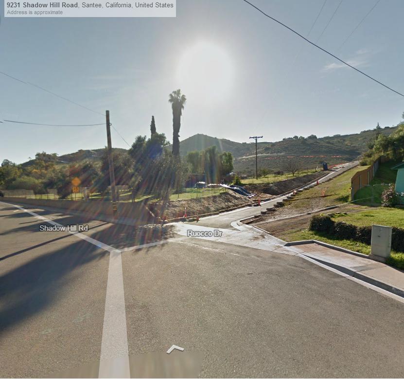
Shadow Hill road incrocia Ruocco drive

Altra vista della zona
Altra vista della zona


Altra vista della zona